

USNG Store estimated price range: Contract
Standard Product
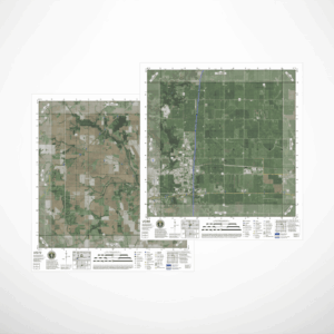
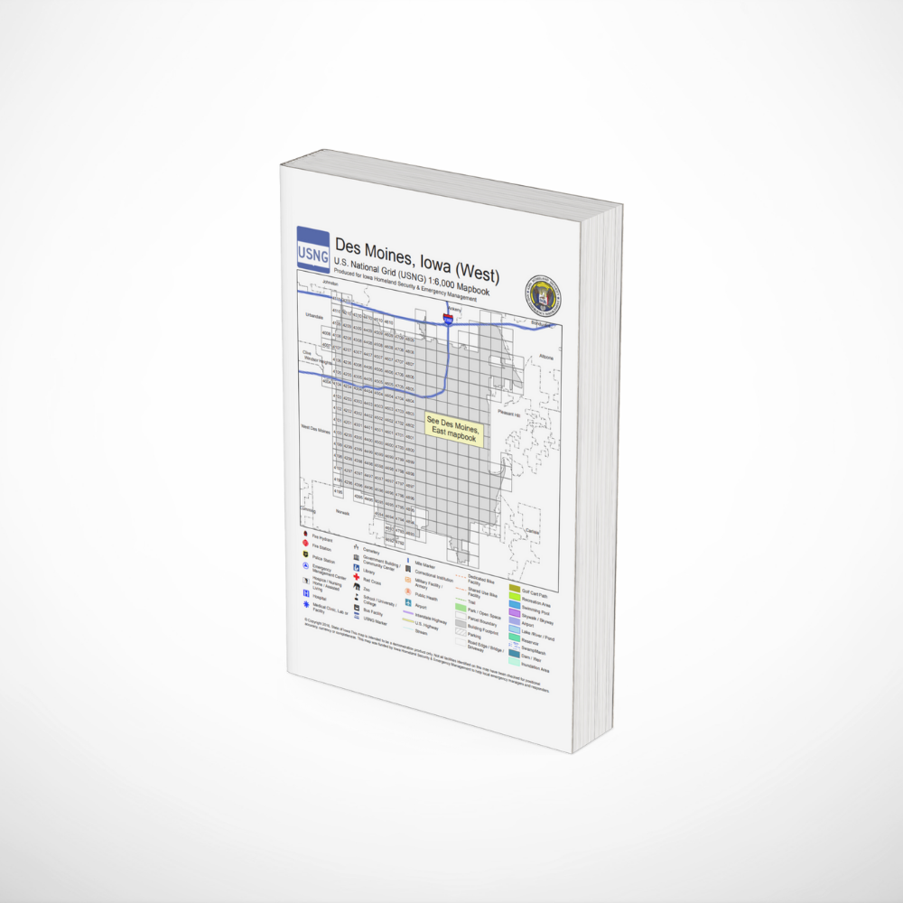
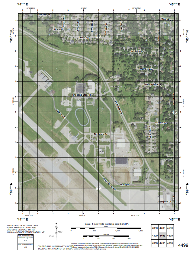
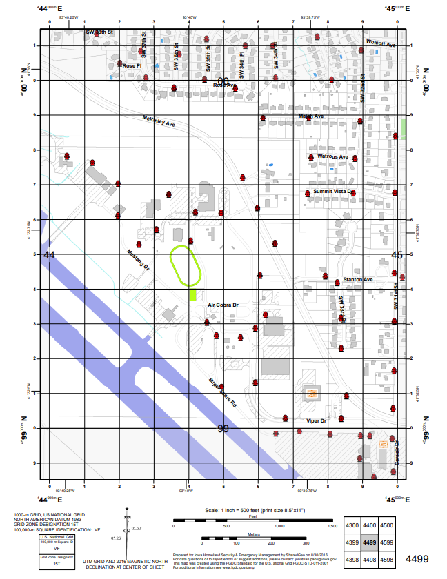
Designed to serve as the “ride along” backup for a response vehicle’s Mobile Data Terminal, this mapbook style typically covers an average size city in one volume using 1 km × 1 km map views printed on 8.5″×11″ paper. On one side of a page there is a graphic map view, and on the reverse, there is a current aerial image of the same area. Both shown at scale 1:6,000.
The binding edge of pages is designed to allow the mapbook to be bound so that it can be torn apart in the field and with nothing more than some scotch tape the pages can be used to quickly assembled a comprehensive area map if the response zone becomes larger than 1 km square, or it is on the border of a mapbook page.
Includes critical infrastructure locations, township boundaries, and standardized symbols for hospitals, fire stations, schools, and evacuation routes as provided by customer.
Price Factors
- Size of area covered by contract
- Order urgency
- Number of requested data layers and their availability from customer
- Customer requested design changer such as unique collaring information
- Tax status of customer – commercial versus tax exempt
Customizations
- Map layers
- Customer requested design changes
What will be included in a quoted price: Product(s) as contracted, tax, handling and shipping.
Distributor: SharedGeo
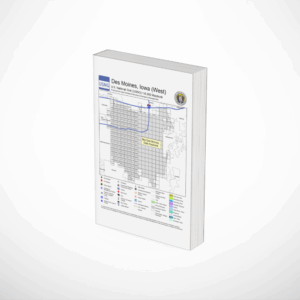
To view an example from West Des Moines, Iowa, visit: https://eoc.iowa.gov/usng/maps/USNG_mapbooks/West_Des_Moines.pdf
Delivered as a PDF for local reproduction and binding.