
USNG Store estimated price range: Contract
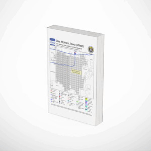
Standard Product
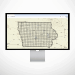
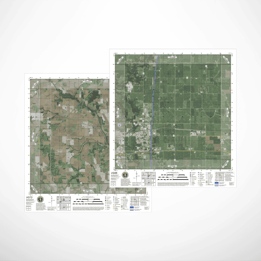
Designed to serve an “overview” reference map, this map style facilitates the creation of a unified, standardized map series for a state using views at 10 km × 10 km (6.2 miles). Based on National Agriculture Imaging Program (NAIP) imagery that is being collected every three years for each state, these maps are scaled at 1:24,000, same as the USGS topo series of maps.
Over the base NAIP imagery, USNG gridding, critical infrastructure, roadways, waterways, and property boundaries and other layers can be added as requested by the customer.
Price Factors
- Size of area covered by contract
- Order urgency
- Number of requested data layers and their availability from customer
- Customer requested design changer such as unique collaring information
- Tax status of customer – commercial versus tax exempt
Customizations
- Map layers
- Customer requested design changes
What will be included in a quoted price: Product(s) as contracted, tax, handling and shipping.
Distributor: SharedGeo
To view an example from Iowa, visit: https://eoc.iowa.gov/usng/maps/USNG_10K/15TVG72.pdf
Delivered as a PDF for local reproduction or electronic distribution.