Essential tools and outreach materials for U.S. National Grid users that are available for free.
USNG App
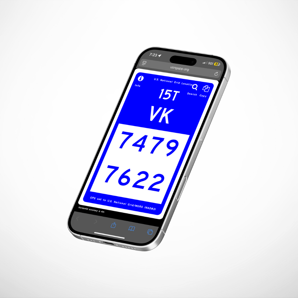
A free progressive web application (PWA) for mobile devices (not PC) that displays your current USNG coordinates and allows for easy location sharing during emergency situations.
FindMeSar
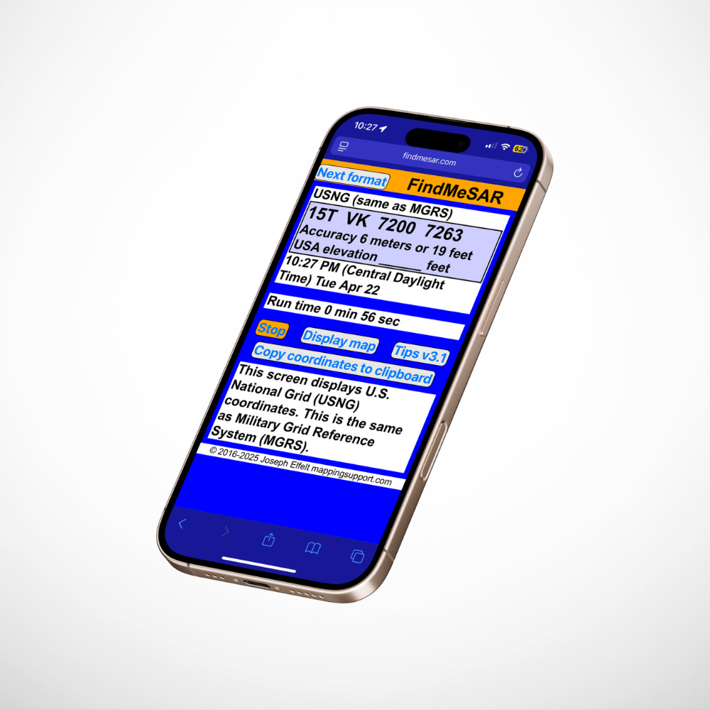
Free search and rescue focused PWA with USNG coordinate display and emergency notification features which offers more extensive, but complicated, location display options.
Android Apps

On the Google Play Store, you can find various applications for navigation and mapping that provide support for USNG and MGRS coordinates.
Apple Apps
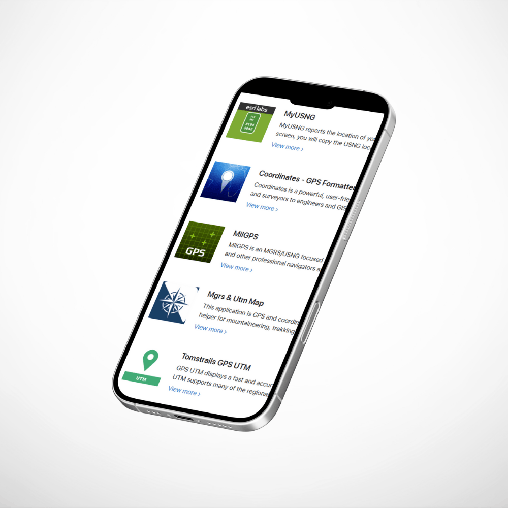
On the Apple App Store, you can find various applications for navigation and mapping that provide support for USNG and MGRS coordinates.
USNG Marker Maker
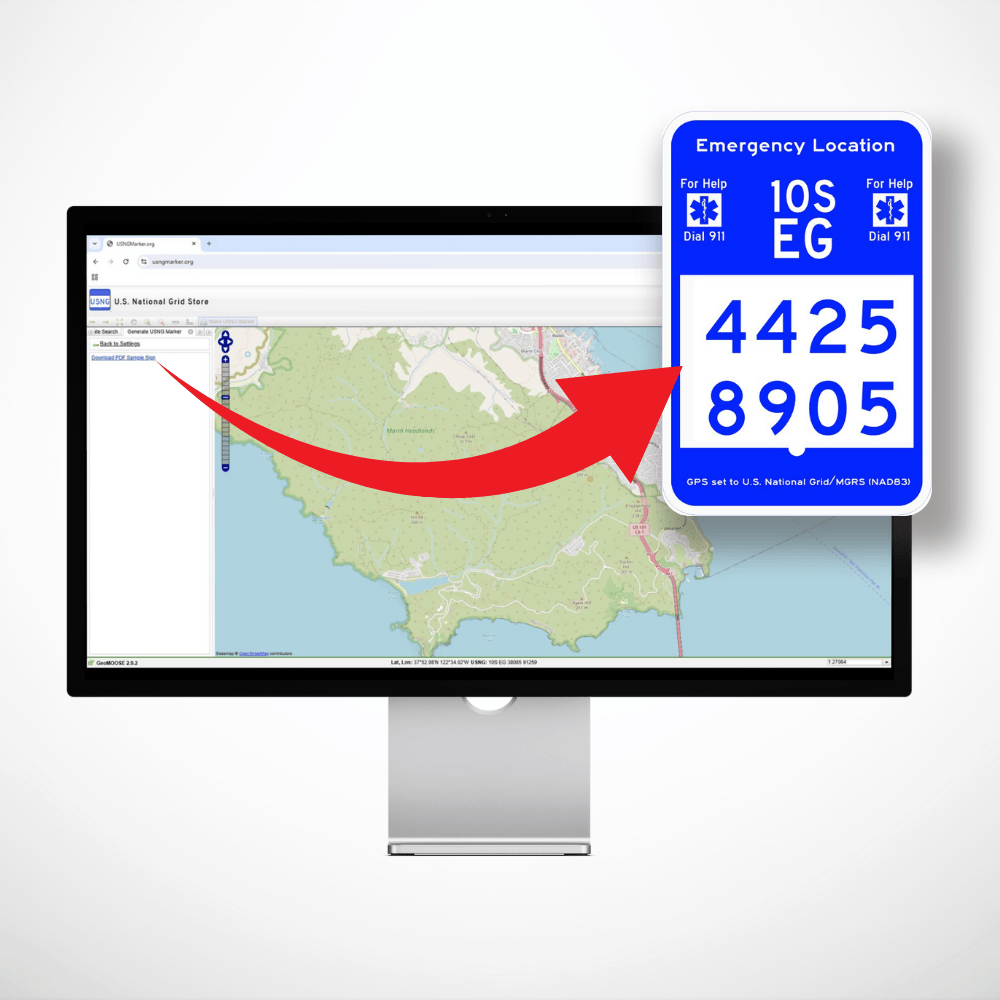
Generate and print example USNG marker(s) for your home, business or even for events with this interactive online tool.
USNG Google Maps Mashup
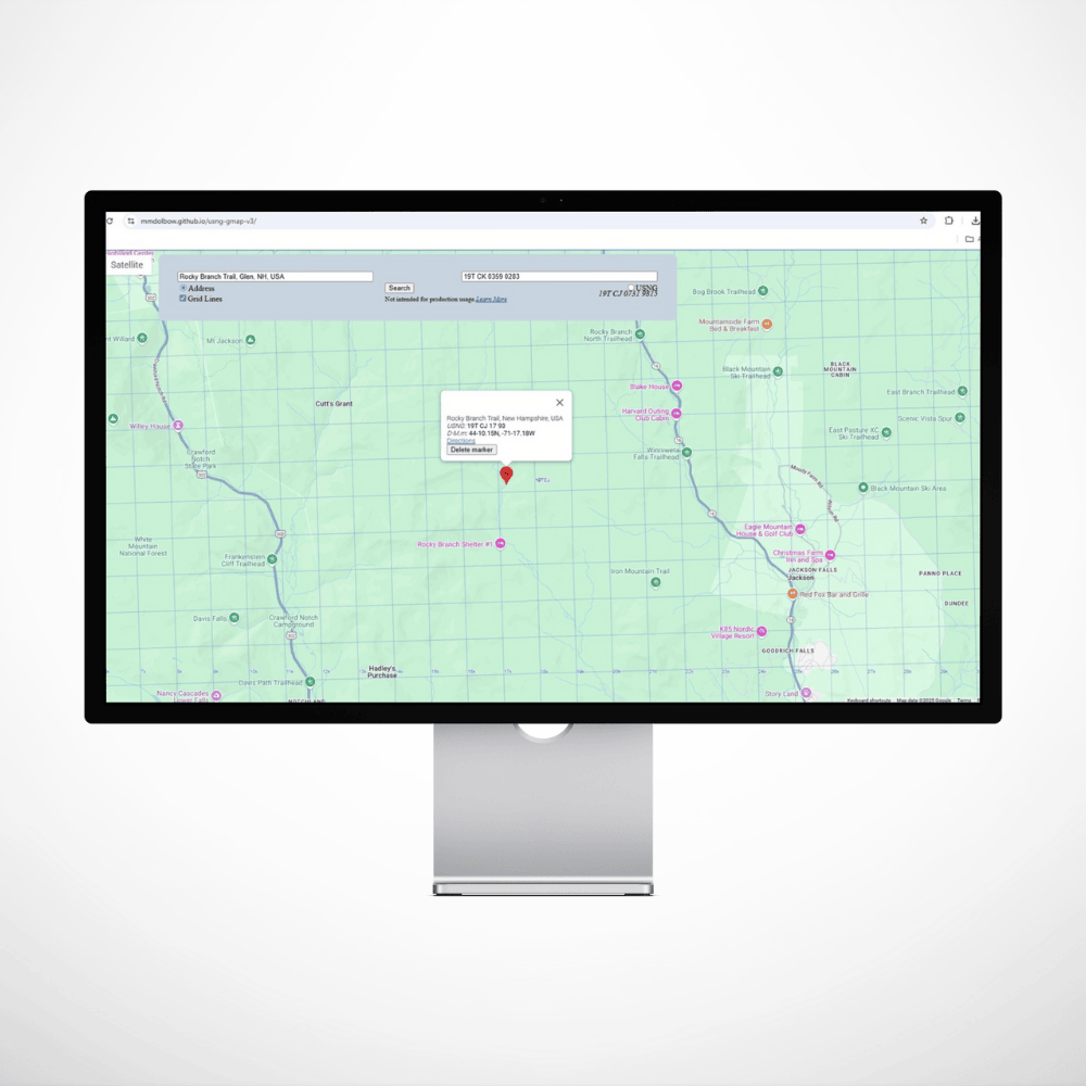
A Google Maps tool that allows the user to zoom to a street address or USNG coordinate and then see the other corresponding location read out.
USGS Topo Maps
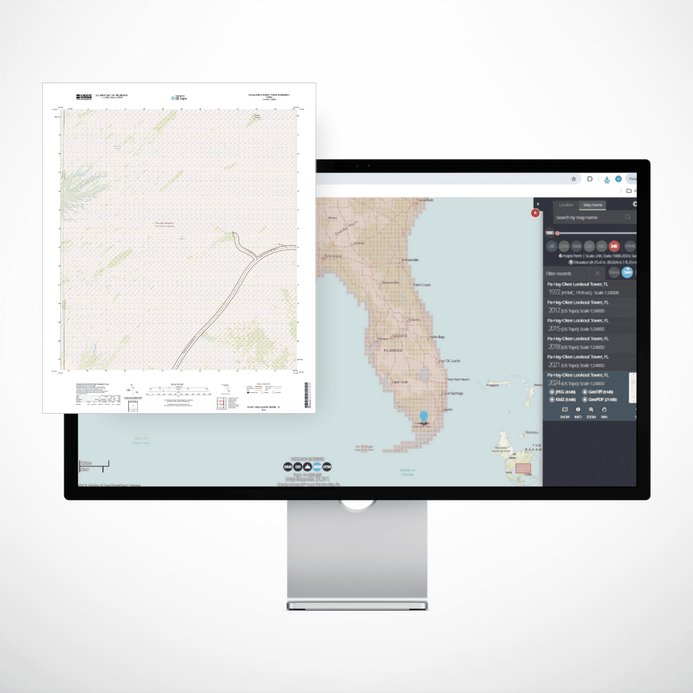
Access and download USGS topographic maps for free through this interactive tool. See instructions for downloading the most current version which include USNG gridding and coordinates.
State USNG 10 km Maps
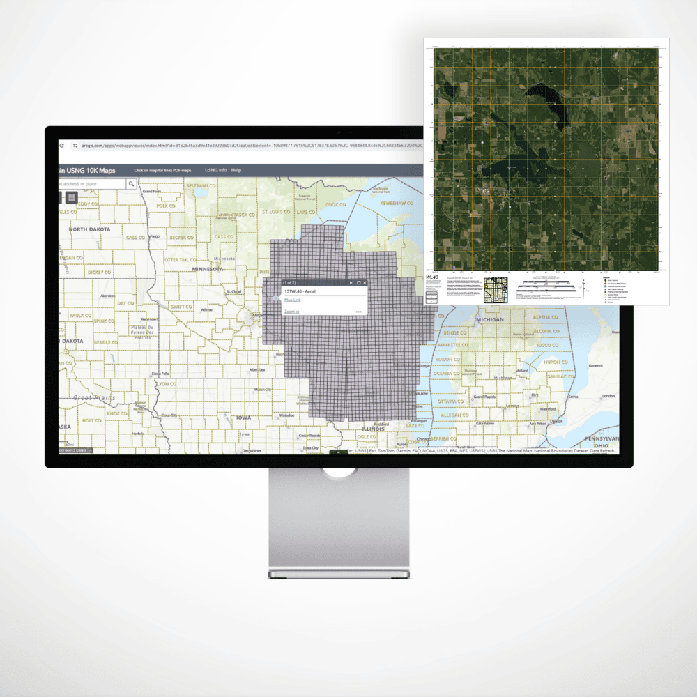
Several states have USNG 10 km "overview maps" which include critical infrastructure items for their first response communities. Example as shown is for Wisconsin.
NAPSG USNG Lookup Viewer
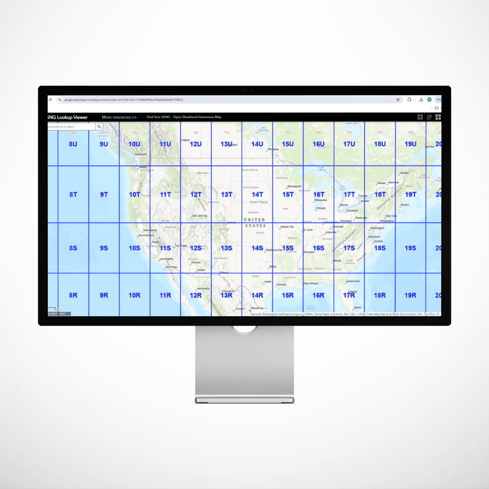
Created by the National Alliance for Public Safety GIS, this map interface can be used to determine location on the USNG using either a grid overlay or zoom to feature.
NAPSG SA Viewer
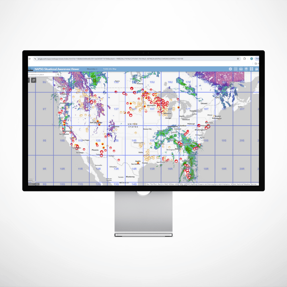
Monitor current events and severe weather forecasts using this dynamic Situational Awareness Viewer provided by NAPSG Foundation to support incident and disaster readiness
Magnetic Declination
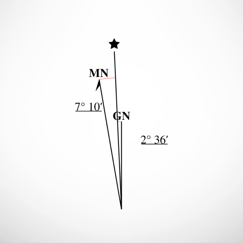
This free utility will generate a PNG or SVG file representing a properly formatted declination diagram for a specific map.
USNG Flyer
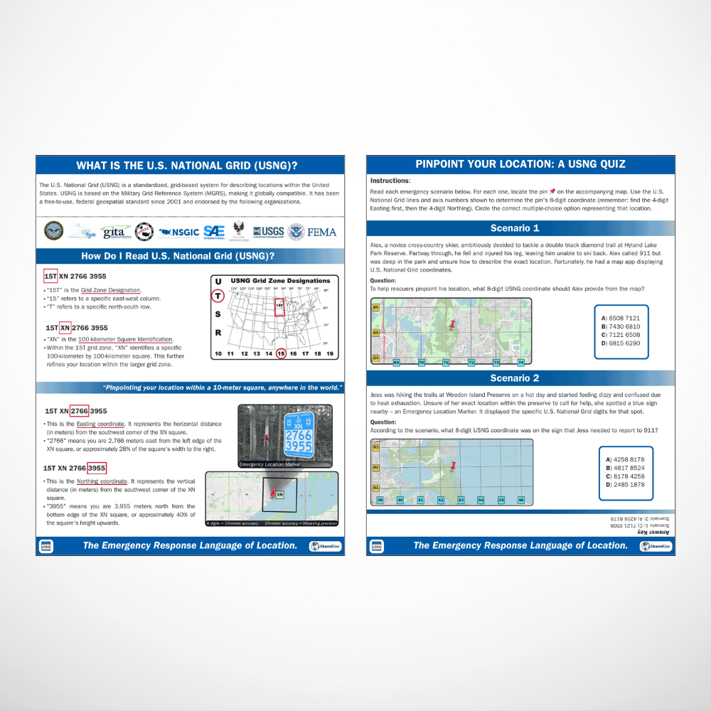
A resource designed to teach you how to read U.S. National Grid coordinates effectively, complete with a quiz on the reverse side.
USNG Tools & Resources Flyer
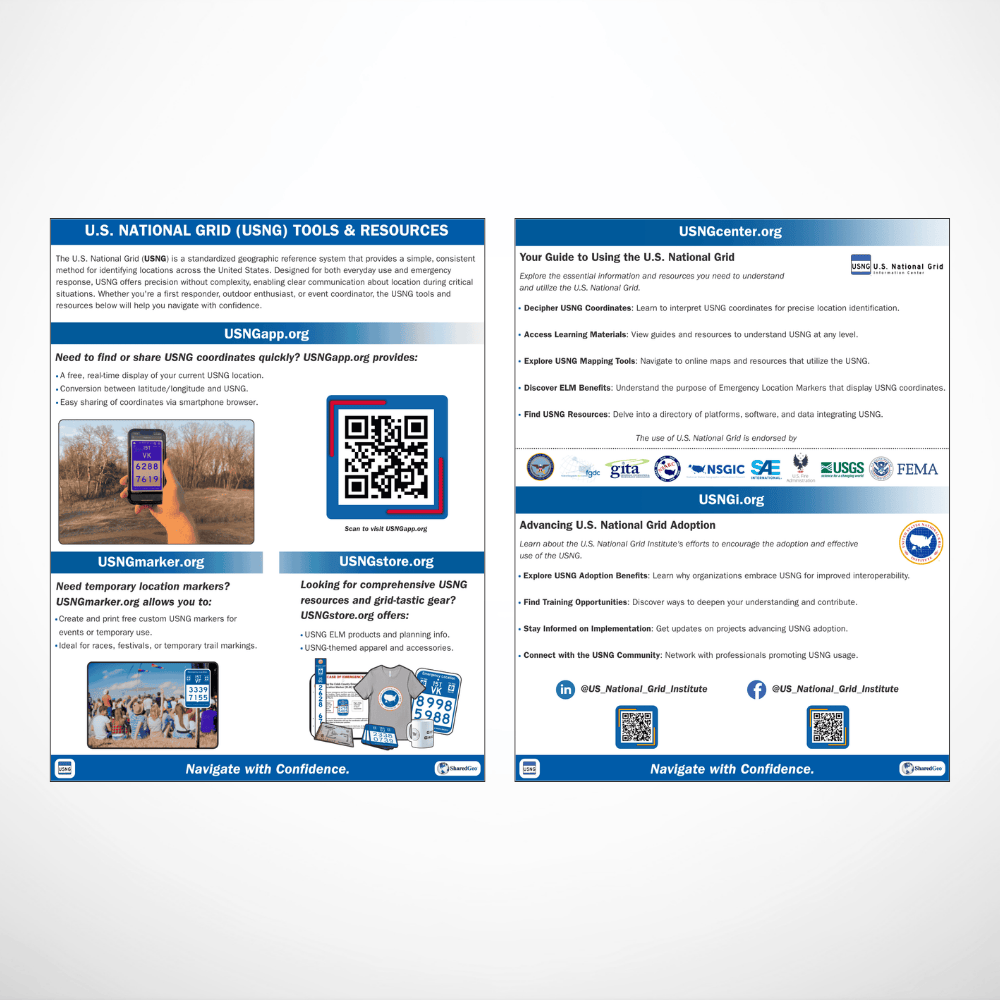
An overview of available USNG tools, websites, and training resources.
USNG ELM Flyer
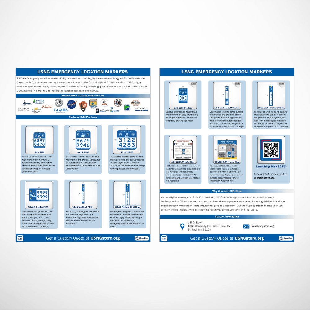
Learn about the different types and materials available for USNG ELMs to help guide your selection for an effective emergency location solution.
USNG Trifold Brochure
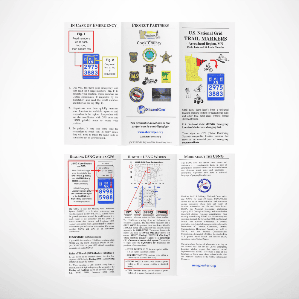
A brochure for public education and outreach about USNG benefits and implementation.
USNG Poster
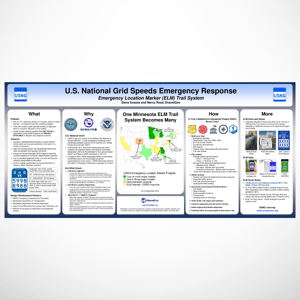
Large-format educational poster explaining USNG principles and applications for emergency management.
Responder's Guide

Coming Summer 2025.
Dispatcher's Guide

Coming Summer 2025.
911 Call Processing Diagram

Coming Summer 2025.
ELM Production Guide

Coming Summer 2025.
